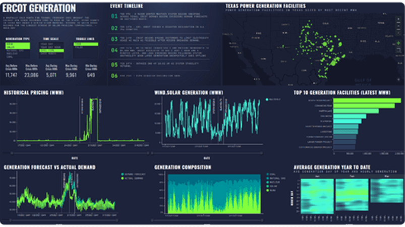
The more data you want to explore, shape, and manipulate, the more you need Spotfire.
No boundaries. No roadblocks. No matter the data source.
Only Spotfire is designed to let you easily prep, explore, and analyze data at scale, at rest, or in motion across multiple sources.
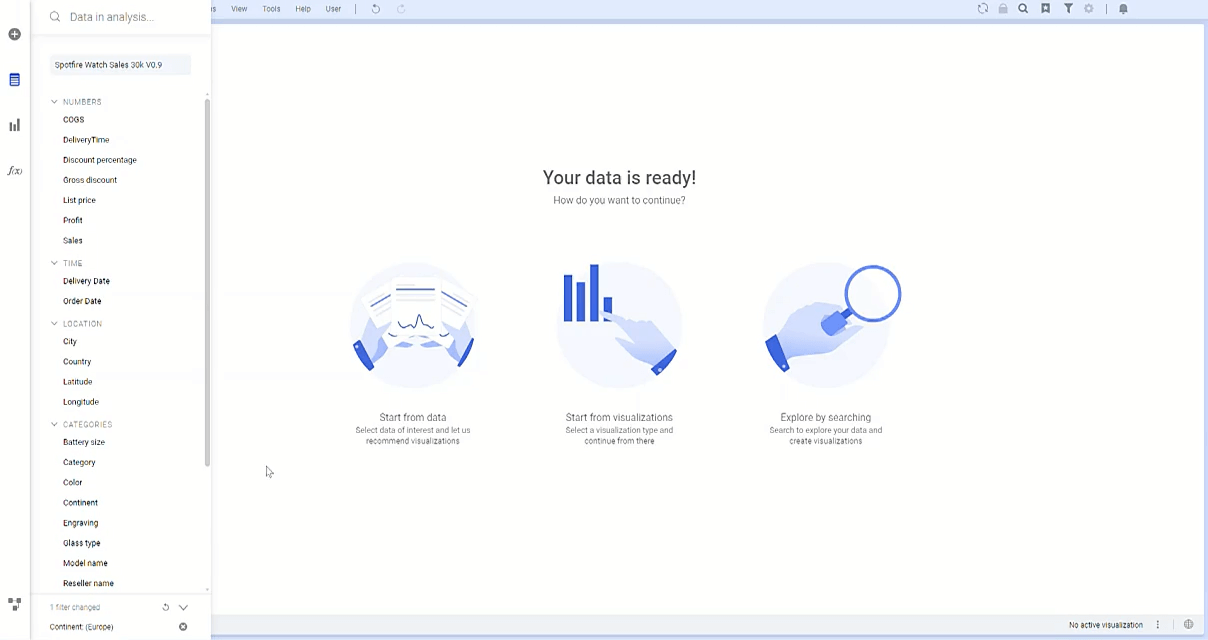
Spotfire is for data-intensive businesses
EFFORTLESS
Empower your team with low-code tools
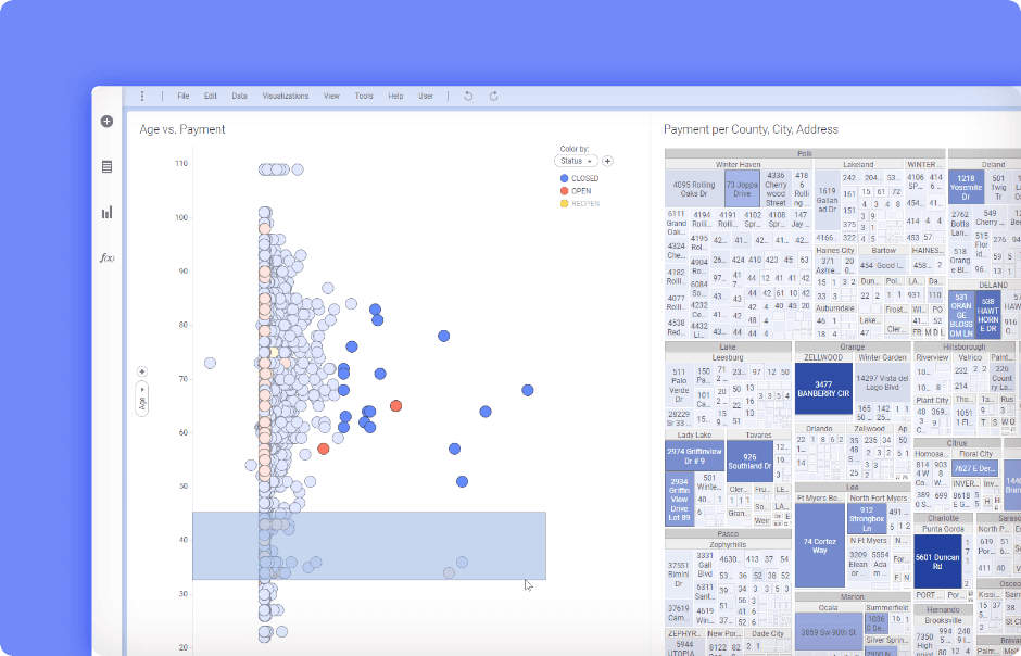
Customize and develop business applications effortlessly with low-code tools, and create custom analytics apps embedded with powerful data science capabilities. Drill-down and navigate across linked data tables, using fully interactive visualizations to increase speed-to-insight.
UNIFIED
Connect to all your data
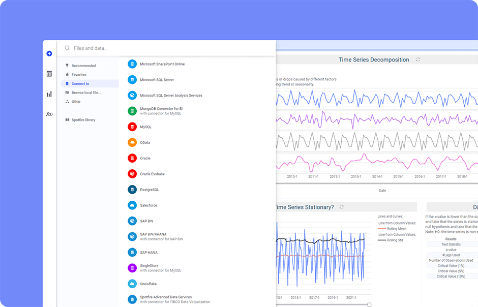
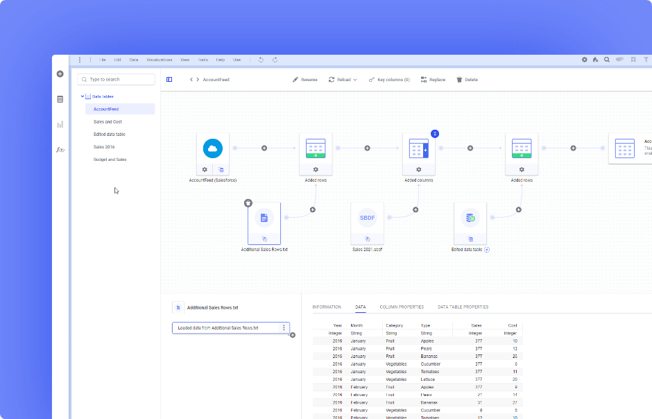
Integrated data virtualization supports 80+ data sources, from static data, in-motion, in-database, to in-memory—no matter the combination. Unify data effortlessly with immersive data wrangling, and instantly see the impact of your changes in an engaging environment.
AUTOMATED
Prepare your data for insights
Use advanced data wrangling capabilities with point-click and expression function methods for data cleaning, preparation, and feature engineering—along with inline editing of auto-recorded, editable, and shareable data.
EXTENSIBLE
Explore data for deeper understanding
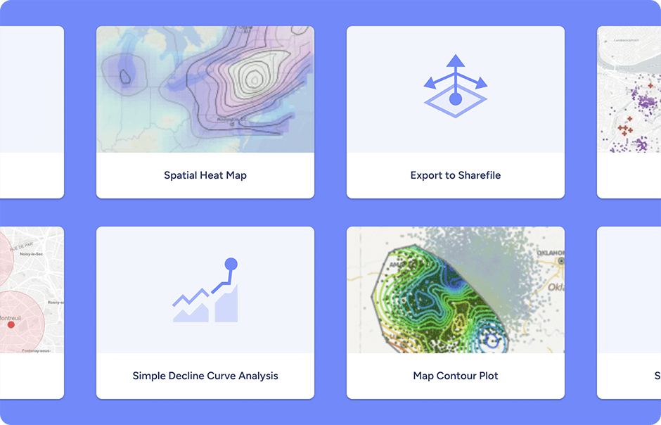
Download a range of data functions, supporting exploratory analysis, data preparation, modeling, and prediction model evaluation and explainability—including advanced geospatial analysis, free on the Community. Statisticians and data scientists can easily package R and Python functions as data functions, and share them with their team, organization, or the larger Spotfire user community.
CUTTING-EDGE
Map your data with advanced geoanalytics
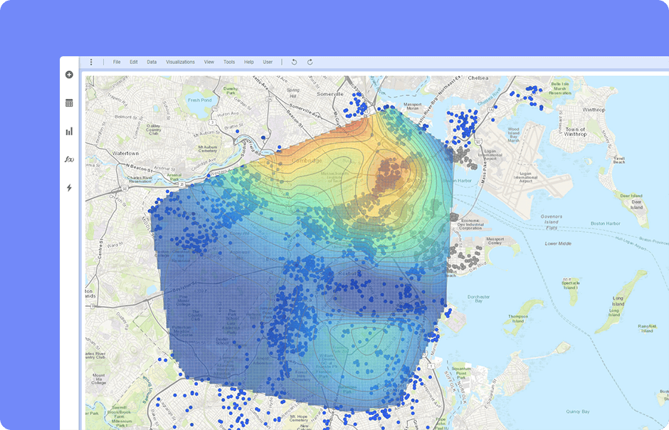
Power up your analysis with the ability to utilize spatial data, understand geographic correlations, and analyze with multi-layer mapping. Go beyond simple maps with advanced spatial calculations, such as optimal routes, contours, trade areas, and polygons to understand where and why situations happen.
See how Spotfire can explore your data
Discover the demo gallery
No matter your industry, Spotfire can transform your data into smarter insights. Check out our interactive demo gallery, where you can adjust each analysis, and see Spotfire custom extensions in action.
